
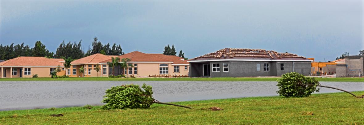

National flood insurance will undergo a seismic change for homebuyers on Oct. 1, 2021, and for existing homeowners on April 1, 2022. Under “Risk Rating 2.0,” policy rates will be individualized based on a specific home rather than a general blanket rate based on flood zones.
WASHINGTON – The Congressional Research Service released an updated analysis of the National Flood Insurance (NFIP) program slated to go into effect on Oct. 1, 2021, for new homeowners and starting on April 1, 2022, for existing homeowners.
The report, National Flood Insurance Program: The Current Rating Structure and Risk Rating 2.0, explains in detail how the government plans to operate the program.
“Risk Rating 2.0 will continue the overall policy of phasing out NFIP subsidies, which began with the Biggert-Waters Flood Insurance Reform Act of 2012 and continued with the Homeowner Flood Insurance Affordability Act of 2014,” the report says. “Under the change, premiums for individual properties will be tied to their actual flood risk.”
Under the current program, a home’s cost for flood insurance is based on their flood zone, with neighbors charged the same amount. The new policy will operate similar to private property insurance policies, with a number of variable either raising or lowering the cost of a basic policy.
FEMA says flood zones won’t be used to calculate a specific home’s policy premium under Risk Rating 2.0. Flood zones won’t go away, but they’ll be used for floodplain management purposes, and the boundary of a Special Flood Hazard Area will still be required for the mandatory purchase requirement.
Factors considered in flood insurance policy cost
The latest analysis lists a range of new criteria that could impact an existing homeowner or homebuyer’s flood insurance cost, including:
- pluvial flooding (flooding due to heavy rainfall)
- flooding due to tsunami
- coastal erosion outside the V zone
In developing new rates, FEMA says Risk Rating 2.0 is expected to use a multi-model approach that includes data from multiple sources, including:
- Existing NFIP map data
- NFIP policy and claims data,
- United States Geological Survey (USGS) 3-D elevation data
- National Oceanographic and Atmospheric Administration (NOAA) SLOSH storm surge data
- U.S. Army Corps of Engineers data sets
© 2021 Florida Realtors®
Go to Source
Author: kerrys